The distance from Harbor Town Yacht Basin to Beaufort SC is not far. An afternoon’s run was all we needed. Wind was still too close to use and so the engine ran for our one hour crossing of Port Royal Sound- which was thankfully relatively calm.
Once we were in the Beaufort River, at Parris Island, Jelly Fish were in schools. Clusters of them passed by. The photo does not do justice to the vast numbers seen before I went below to get the camera.

Parris Island Jelly Fish
Unlike the jerk we encountered near Fernandina Beach, this fellow slowed for us and waited until we had passed before powering up again. Most boaters show the courtesy.
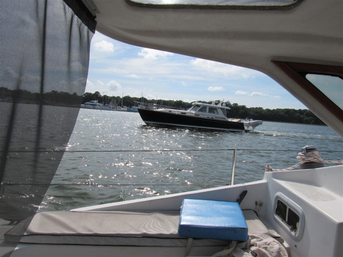
A “Slow Pass”
We arrived well before the Beaufort City Marina office was to close. Our dock tie up went smoothly in spite of the current. This is one marina where you need to be sure and meet the current when approaching.
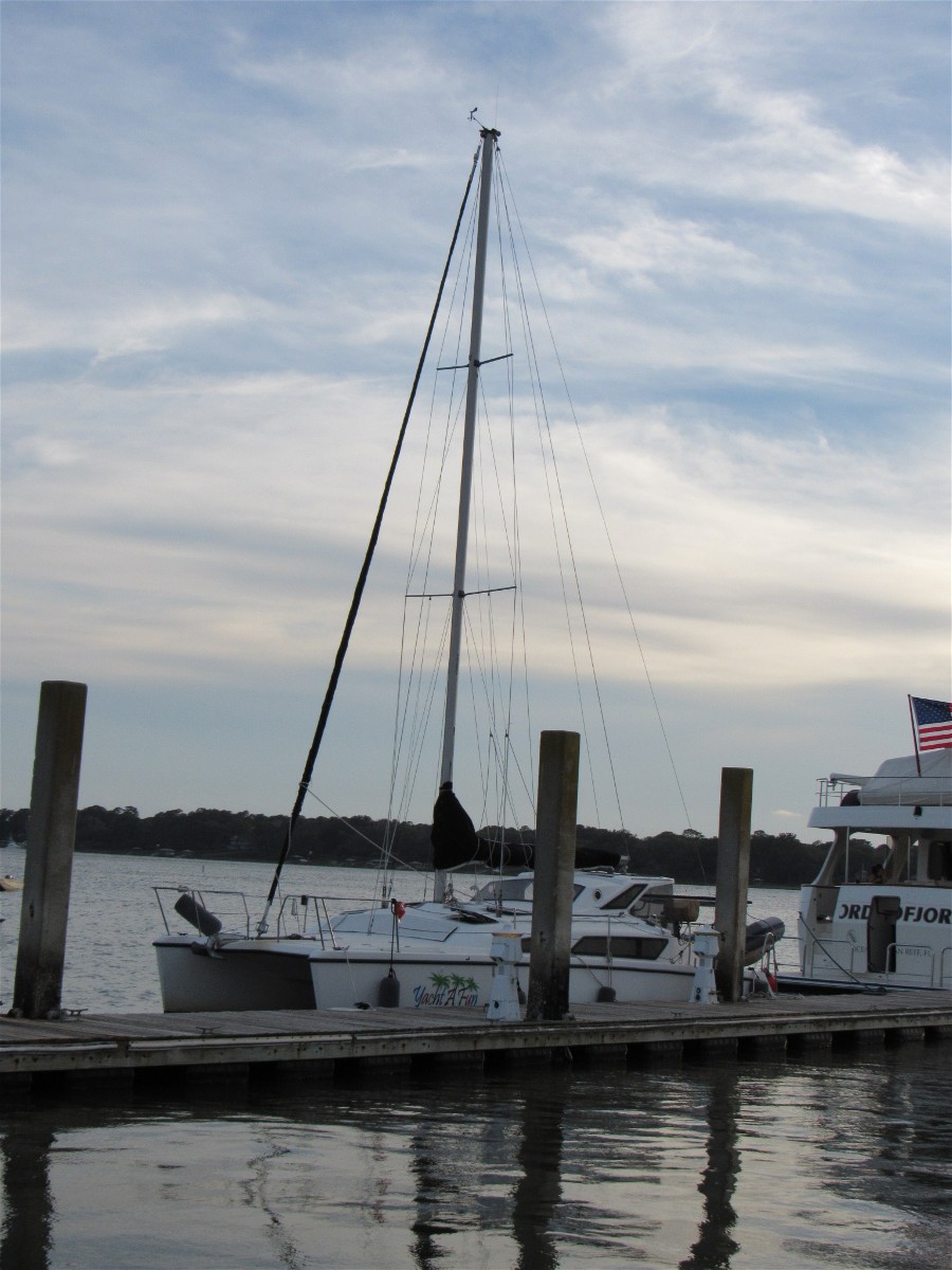
Yacht A Fun at Beaufort City Marina
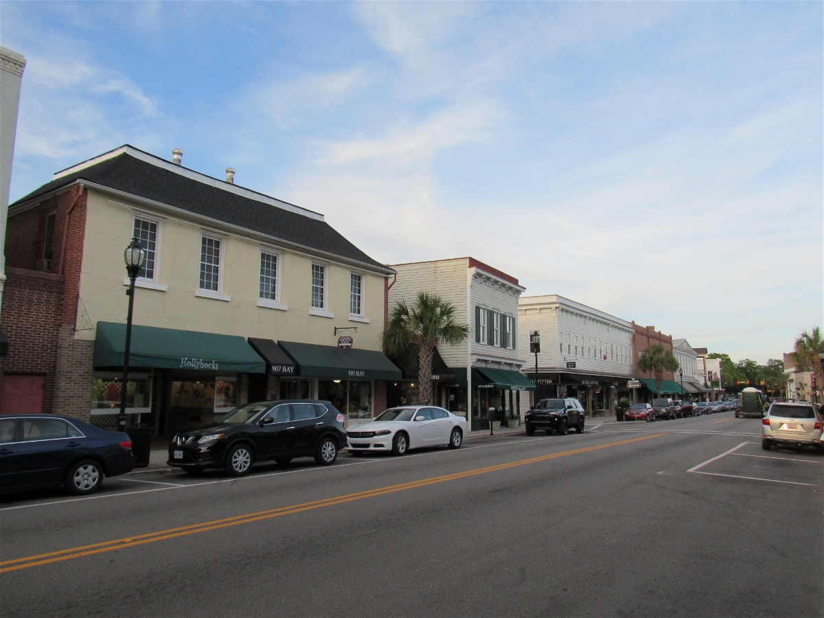
After a refreshing beverage we walked Bay Street and turned one block north to Emily’s Restaurant for dinner. The Historic District is pleasant, but not one at which we have yet spent much time. Perhaps we can do it justice on our next visit.
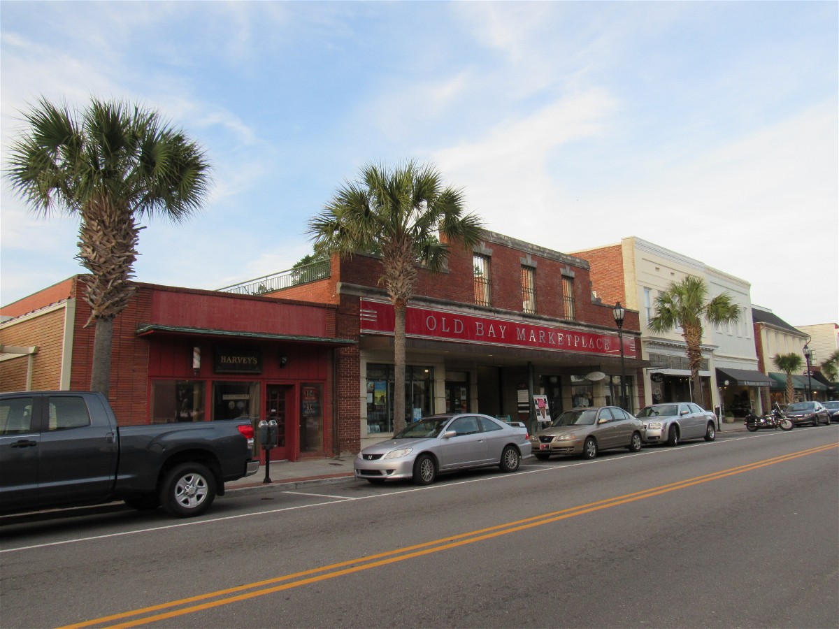
Bay Street scene

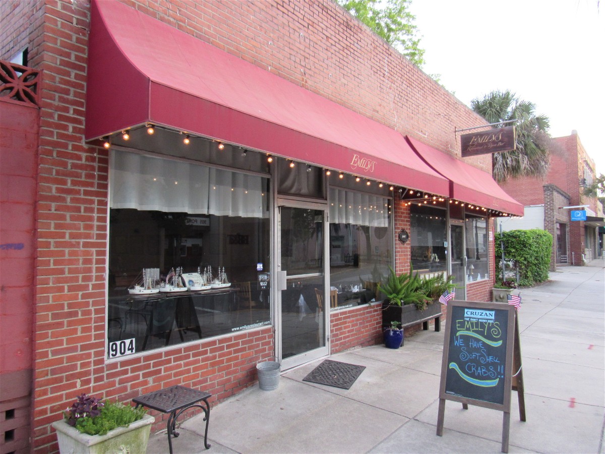
Emil’s Restaurant and Tapas Bar
The menu at Emily’s is extensive and the food as well prepared as you will find along the ICW. Typically Diann and I share a number of plates. This time, however, Diann enjoyed a rib eye which was so large that David and I also had a share!
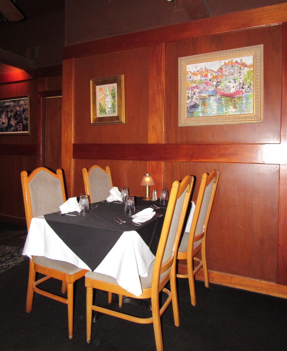
Dining Room Seating

Raw Tuna with Sea Weed

I ate just one this time !
Emily’s is a splurge with a high enjoyment factor. Perhaps that’s because the fare has been consistently prepared over the years.
David suggested a round of after dinner drinks and White Russian’s seemed to be the deal. With full bellies and a relaxed glow, we slept well.
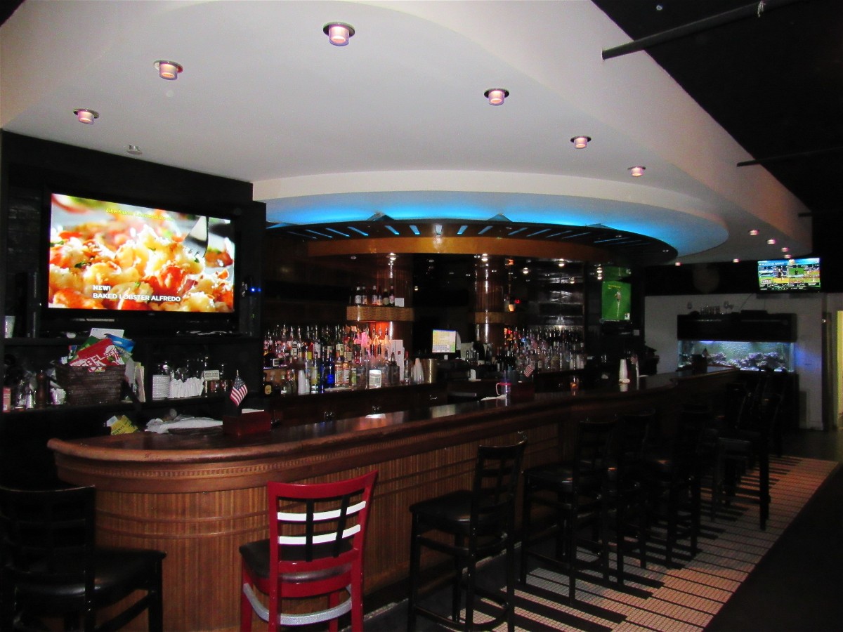
Emily’s Bar
It wouldn’t be boating if not for being able to maintain the boat in picturesque places. My morning routine review of the engine revealed the seven month old belt had given up parts of the outer surface. Shazamm! “The bridge opens at 9AM. Can I install the replacement in time to make the opening?”
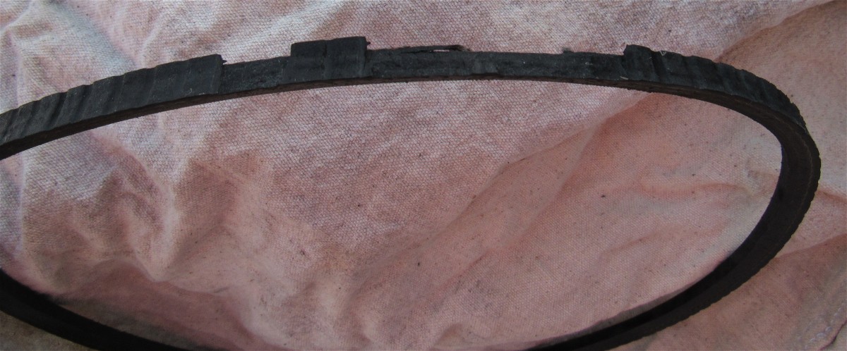
Failing Westerbeke Belt
“NO,” the Westerbeke replied. “You have a special process / technique to learn about taking off the alternator support arm.”
So, David and I tried a number of typical manual processes for getting a new belt up-over-onto the three pulleys of the engine. Prying a belt over a pulley can do terminal damage to the belt- so that wasn’t one of the attempts. Cranking the engine for a burst of rotation didn’t pop on the “almost there” belt either.
Loosening the alternator and subsequently removing the support arm so the belt could go over the alternator pulley, and then reattaching the arm before tightening the alternator was the technique Mr. Westerbeke taught us thru the process of elimination.
What Mr. Westerbeke didn’t tell me, though, was that one of the two bolts holding the alternator support arm also serves as a coolant drain plug. That aspect I discovered as pink colored water trickled down the surface of the engine block while the bolt was out. So I had to top off the little plastic coolant reserve with 50/50 premix.
Some time back, before we owned the boat, a belt had been allowed so much slack that it slapped against the water hose and had worn a groove into the hose. Preventive maintenance was in order. And since I could easily get to the hose while the belt was off, I added a large zip tie (cut from one three feet long) to create protection should a belt get wayward again. A replacement hose still needs to be part of our spare parts chest.
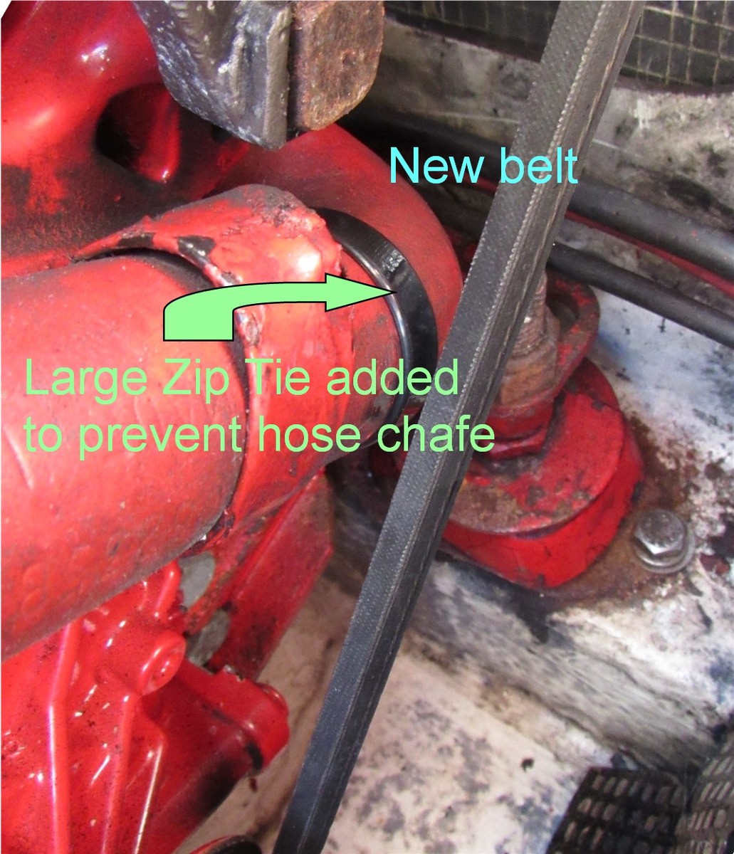
Westerbeke with new belt and Zip Tie
We made the 11AM bridge opening and David took over steering while I made breakfast of corned beef hash and eggs.
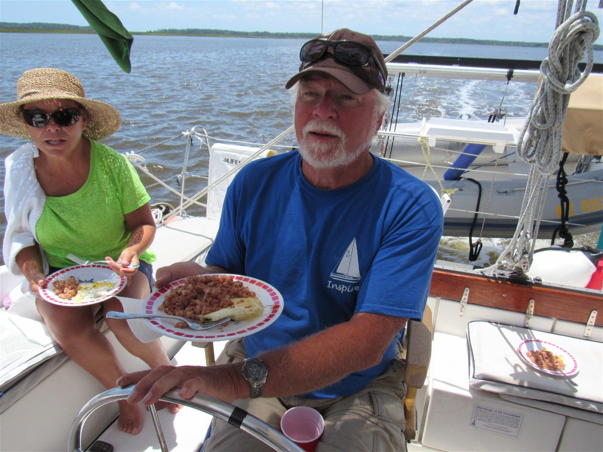
Eating Well !!!
The trip to Buzzard’s Roost / St. John’s Island was long and twisting.

Travel Scene
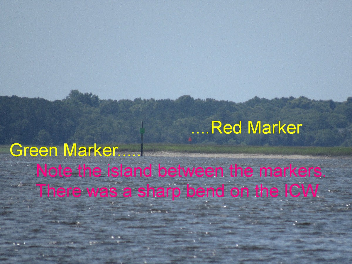
Going between the Green and Red would not work here
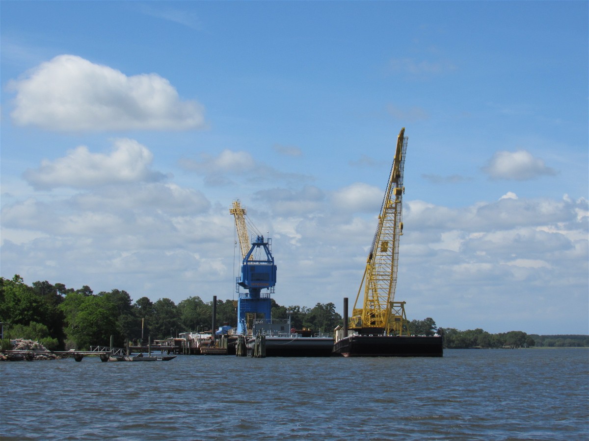
There appeared, over the tree-line, a pair of large construction cranes. They seemed out of place.

Ship Sized Mooring
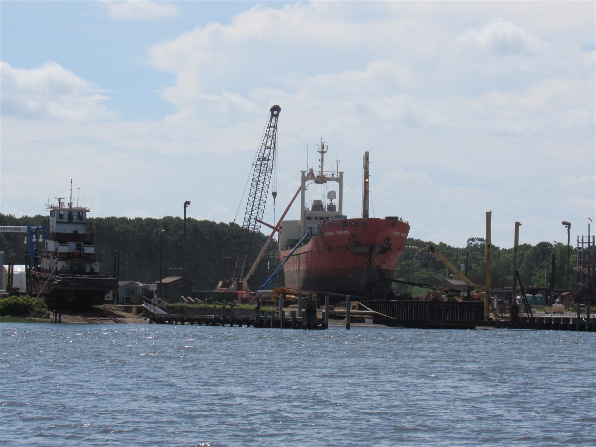
Then we saw the mooring ball for ships and the ship yard at which the cranes were based.
The closer to Charleston we got, the more large homes we saw. The length some people go to have a dock is amazing. This dock-walk cost as much as some houses do.

And how long is this walkway?
We arrived at St. John’s Island and found that anchoring on the west side of the bridge was problematic due to boats, crab pots, and the shoal. So we opted to go under the bridge and found good holding in 17 feet of water. We set two anchors due to the current.
Another boat chose the same anchorage area
David and I enjoyed the sunset while Diann made spaghetti for dinner.
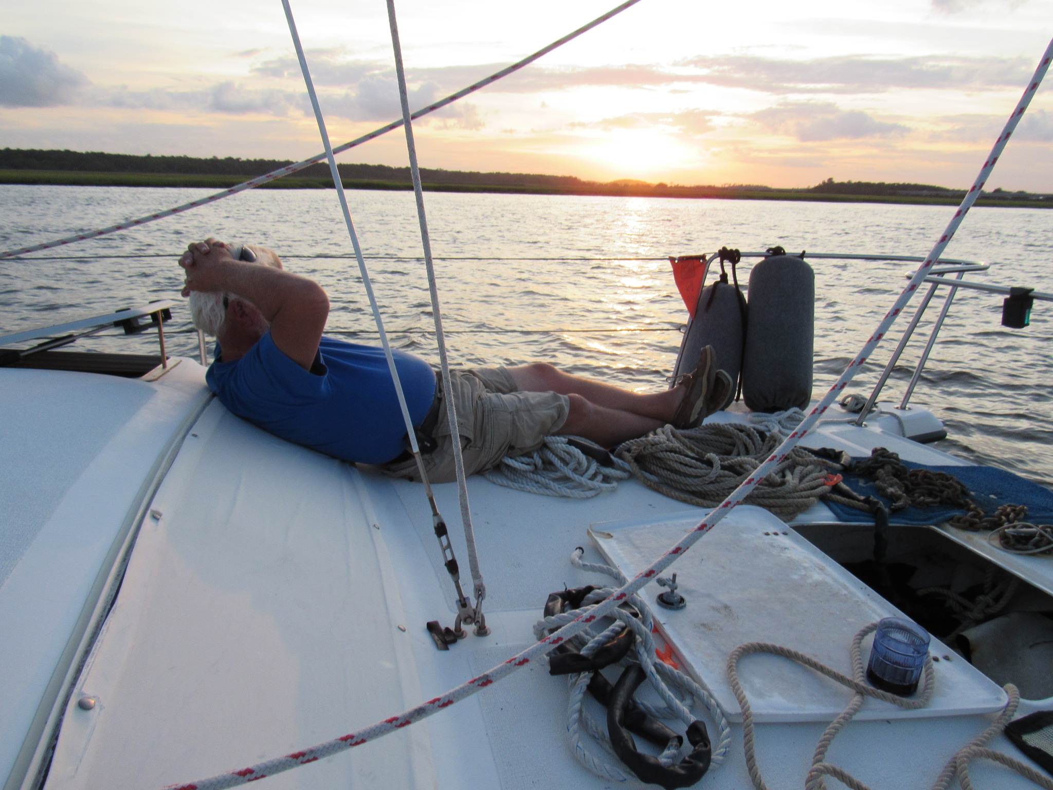
Relaxing at Sunset
Elliot’s Cut is notorious for having a strong current. NOTE- the flow is not the same in the cut as at the entrance to the Stono River. As we motored, the next mornning, up the Stono (turning an almost wide open 2800RPMs), to enter Elliot’s Cut, our speed was only 5.8MPH- which confirmed we were heading into an ebb flow. Yet, as we got to the cut it increased to 6MPH. The water surface looked calm within the cut.
Once into the cut, however, motion accelerated even more. The Elliot’s Cut Ebb runs toward Charleston, not down the Stono. We recorded 10.1MPH, turning 2400RPMs for steerage. Had we been going to Beaufort at that time, we could not have advanced within the cut!
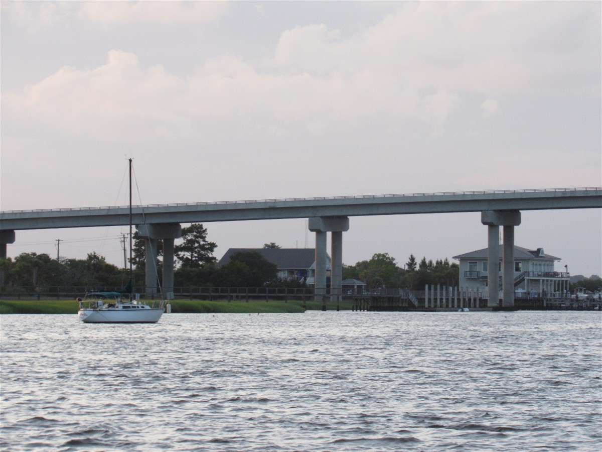
We had a sprinkle of rain as we passed the Battery at Charleston and headed to the ICW entrance at Sullivan’s Island. Boat traffic was minimal, which allowed a bit of site seeing as we passed through.
Fueling at Isle of Palms Marina is convenient and well priced. We found that the grill, within the marina store, is a great place for grilled sandwiches and fries.
Leaving the marina, we soon neared the Cape Romain National Wildlife Refuge, and discovered we had not totally escaped the biting flies! Having been off shore and thereby missed the Georgia ICW, we had missed the worst of the biting flies. Those in South Carolina are vicious enough though.

Fly Swatters are necessary in South Carolina and Georgia
Awendaw Creek was to be our anchorage. It’s located near N33.02.36 W079.33.55

Neighbor at Awendaw Creek
Enter the creek at Red Marker #48 and work your way passed 35 ft depths to reach a long wide pocket of water ranging from 13 / 8 /11. We dropped a pair of anchors off the catamaran ‘s bow because the guide book recommended doing so. Holding was so good, in mud with shell, that we’ll use a well set 35 pound Delta next time. The current was not overly strong.

David enjoyed the quiet of Awendaw Creek Anchorage
Diann and I had joked about Spam. She had picked up a can of Spam (and I three fly swatters) when we were at Fred’s in Fernandina Beach. Dinner at Awendaw Creek just had to be a Spam night- my first in a long time. “Maintenance Feeding”- and not my favorite.

Spam, Whole Wheat Noodles, and Green Beans
The morning’s sunrise was spectacular.
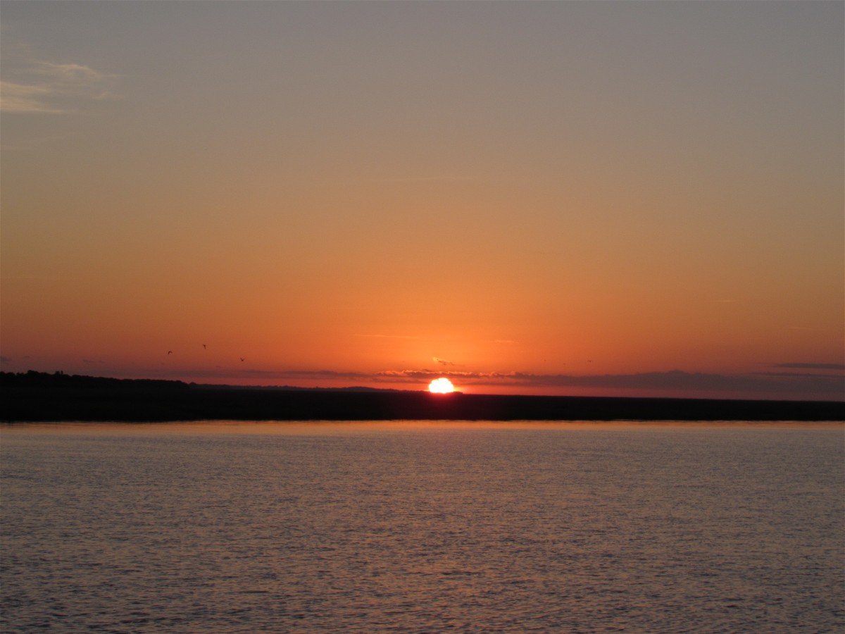
Sunrise over Awendaw Creek
It was to be onward thru Winyah Bay, at Georgetown, to the marina at Wacca Wache, south of Myrtle Beach.